
~Pendle Hill~
25th September 2010
Autumn has arrived, light frost on the cars at home. Clear blue skies at dawn and I fancy a walk, but not a long drive....
It's that Summiteer-chap again, isn't it?
Scroll down for photos and a description of the walk
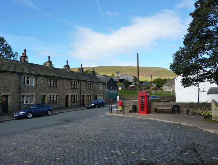
Barley Village
I parked in the village car park, paid my £1 and set off through the village, my route will take me between the Black Moss reservoirs.
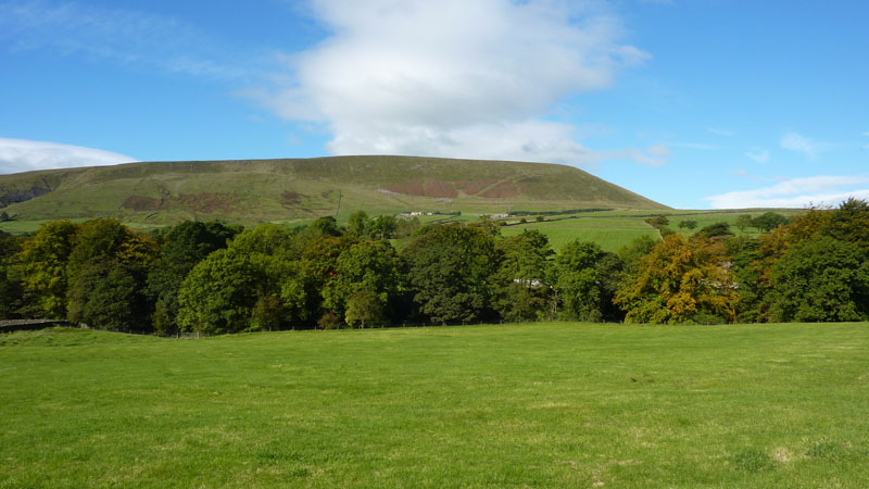
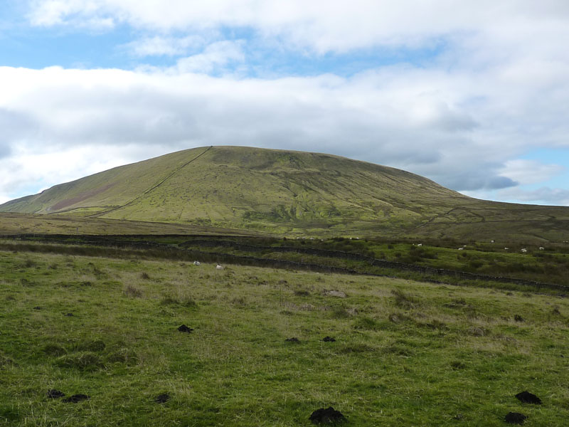
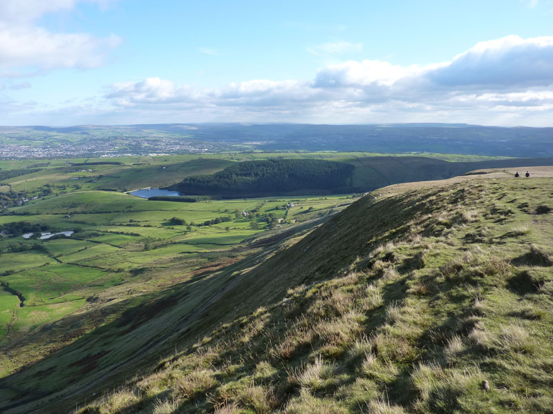
Pendle Hill
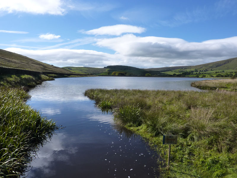
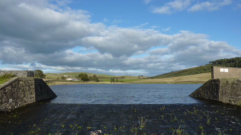
Lower Black Moss Reservoir
It's full! Back in May, this was quite low and a hosepipe ban followed, this is how it looked back then:
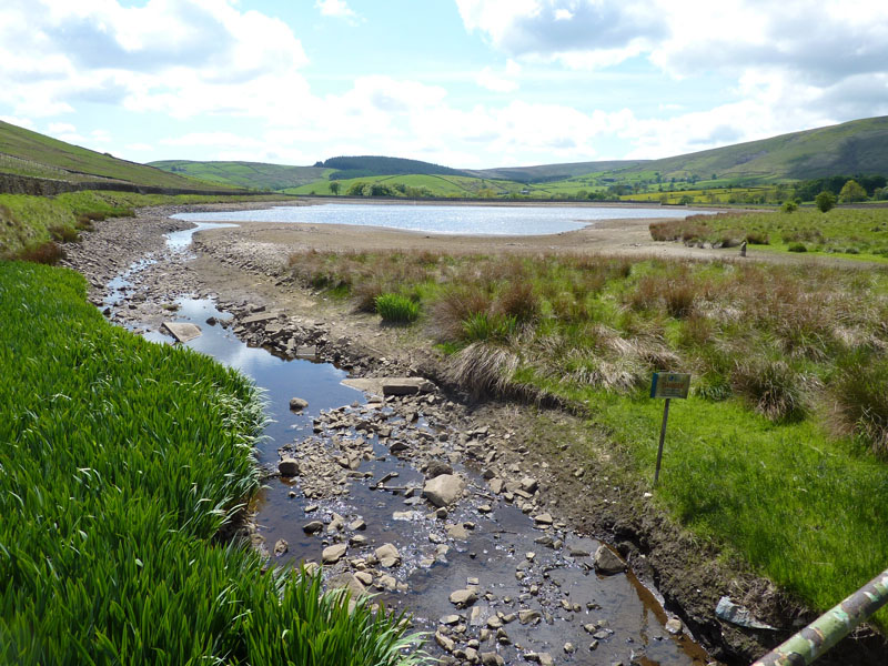
28th May 2010
Big End
Today's route takes me in a north, then north-westerly direction around the "Big End" of Pendle Hill and my plan is to climb the hill from the "other side" - something I don't do very often. Just once before, actually.
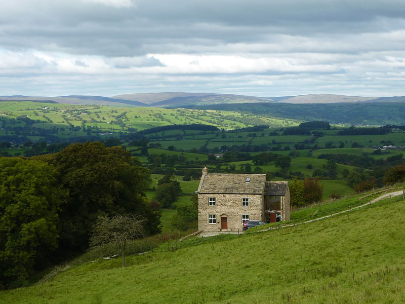
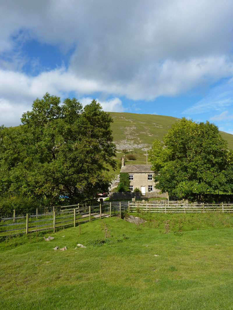
Throstle Hall Cottage
I could live there. But not whilst the current occupiers are in residence.
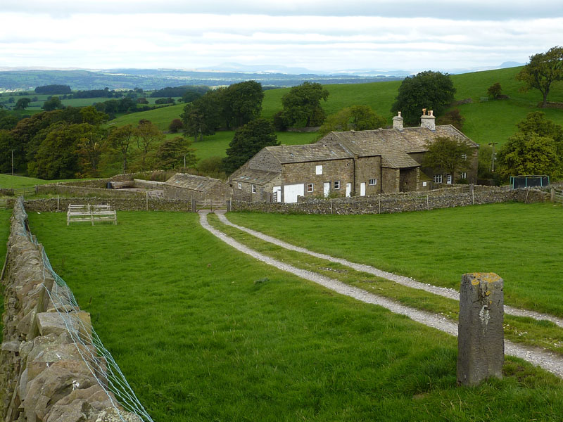
Hecklin Farm
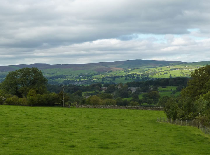
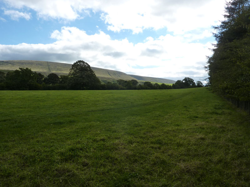
Towards Downham
The path goes through fields and passes numerous farms, here Downham Hall is just visible in the centre of the photo and Waddington Fell is the other side of the Ribble Valley.
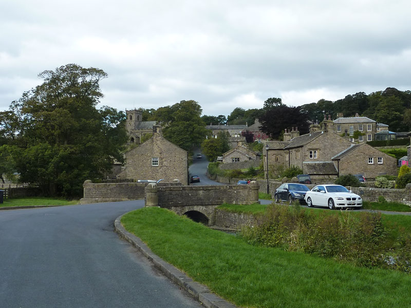
Downham Village
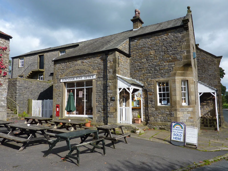
Downham Post Office - obviously
Interestingly, or not, I went to school with "Mr.Dowson", but that doesn't cut any ice, I pay the full price. Hello Eric, how's it going?
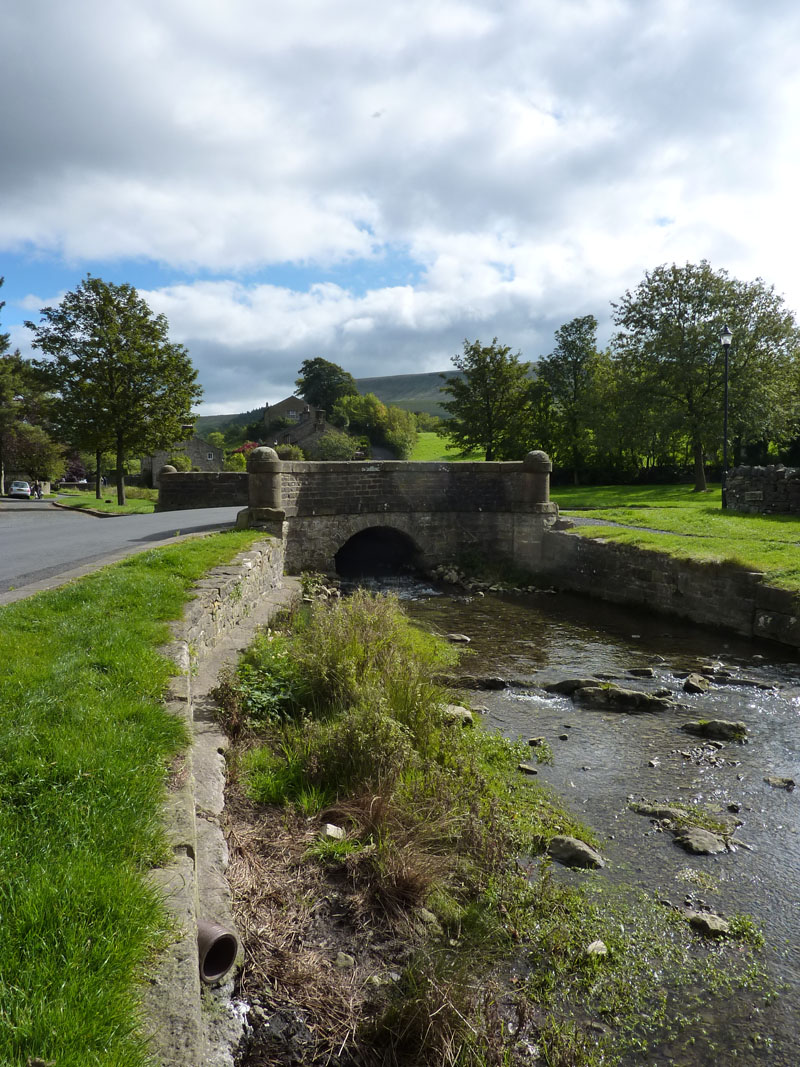
Downham Beck
Along to Worsaw
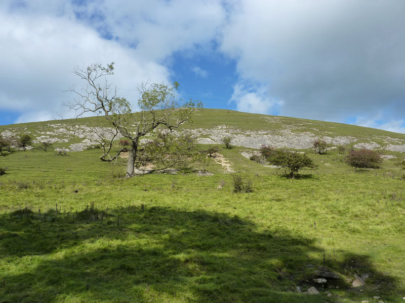
More field walking to a lump of Lancashire limestone.
Worsaw Hill
One of the Lower Viséan Reef-Knolls of the Clitheroe District, don't you know. I wanted to climb up to the top, but it appears not to be open-access and I wouldn't want to upset the locals.
Worsaw End House and Worsaw Hill
Little do the home-owners know, but just a few million years ago, they would have been underwater. It could happen again, any day.
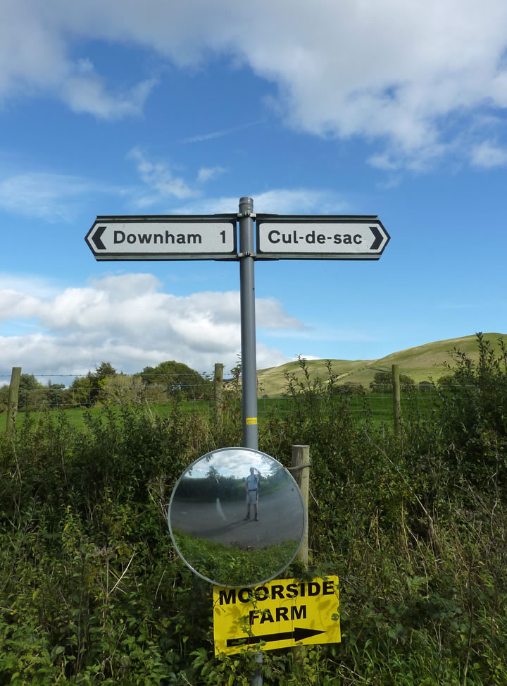
I'm off to cul-de-sac, Pendle Hill is just behind there and it's quite a steep climb. Shorts weather.

The Ribble Valley
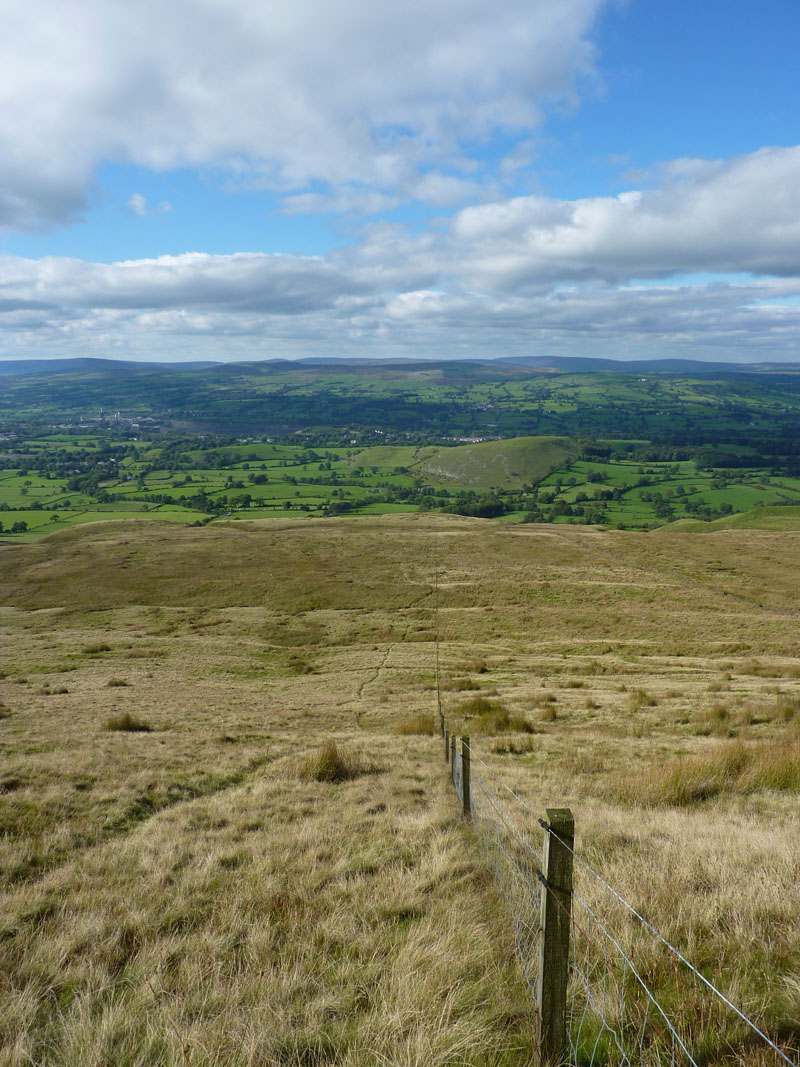
Ascent Route
The top wire carries a small electric charge, I discovered. Can you see that Reef-Knoll?
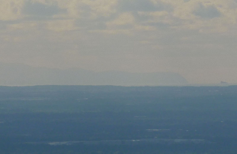
North-Wales Coast
From the top, I could see the North-Wales coast, as above, Black Combe and the bulk of the fells of the Lake District. I walked along the plateau edge overlooking the Ribble Valley, past the scout cairn and the shelter and then eastwards to the stile on the "Big End" where this route meets my popular choice of the steps and then heads for the summit.
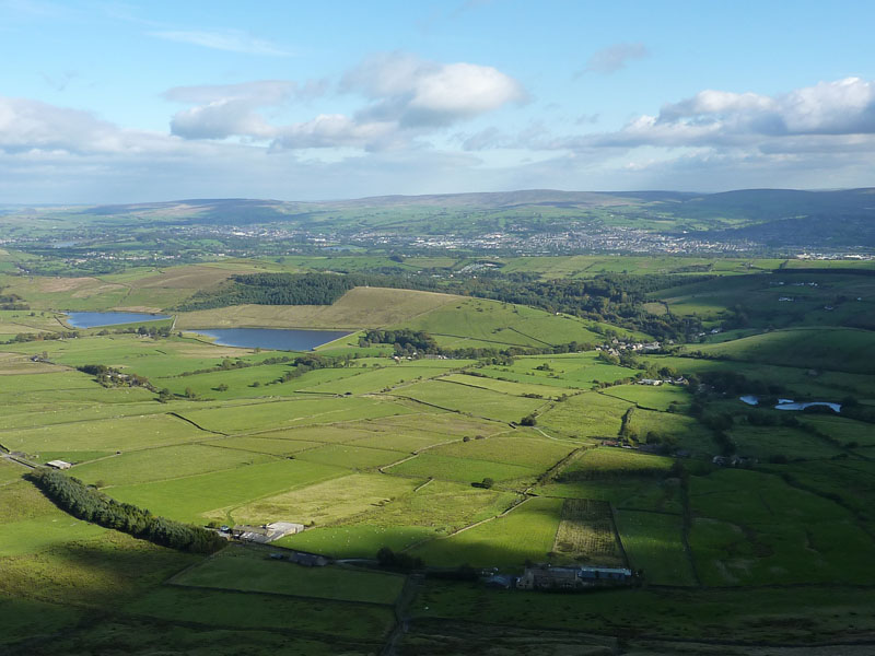
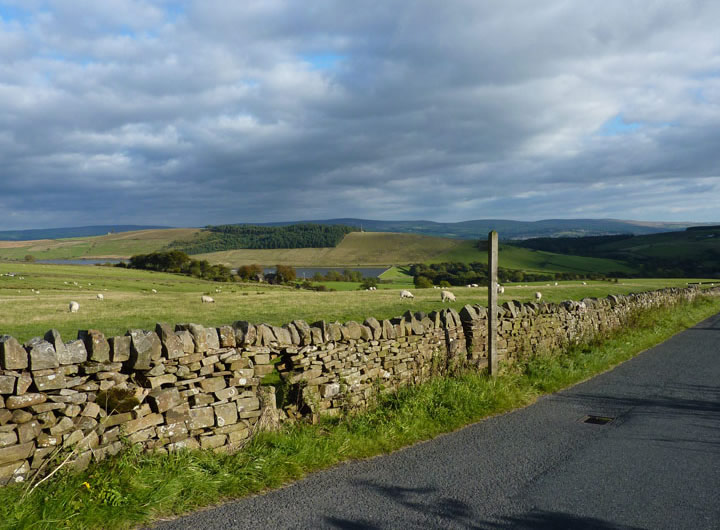
Black Moss Reservoirs
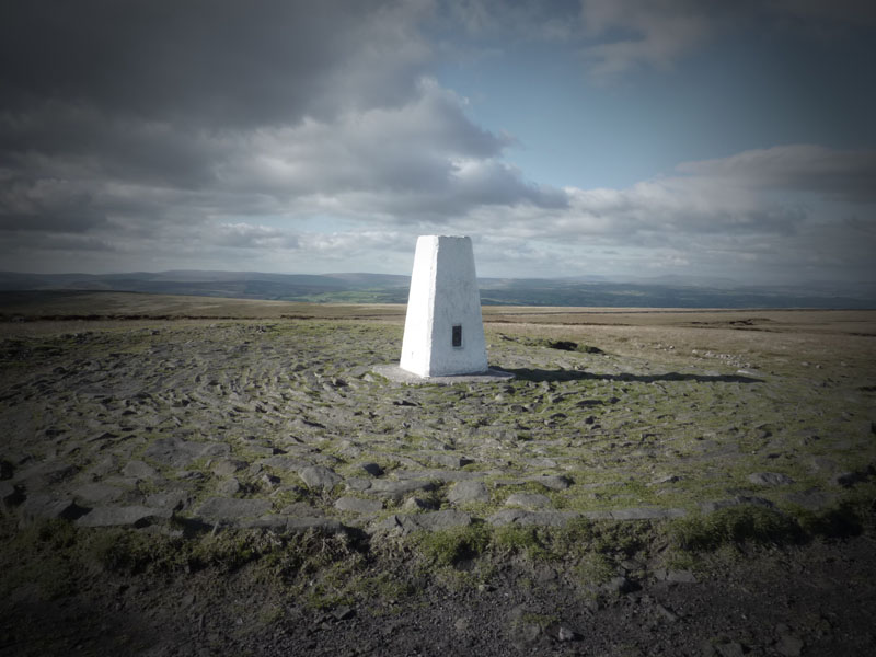
The Top
Fell Wood and Lower Ogden Reservoir
Route Back
I took the usual "left" route off the summit and along the lane to the road, then crossed over and took the fields path to Windy Harbour Farm and back to Barley via the dam of Lower Black Moss Reservoir.
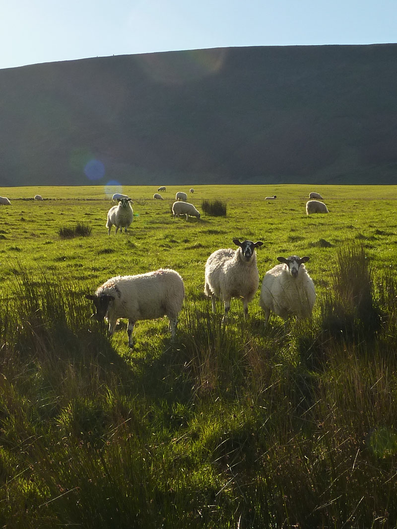
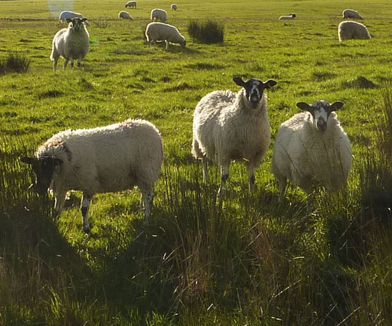
Sheep
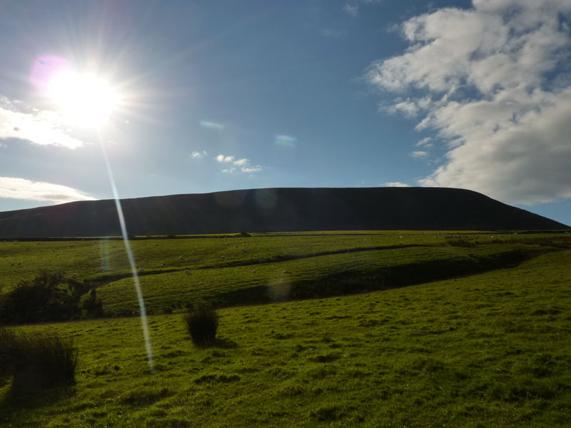
Pendle Hill
Lower Black Moss Reservoir
Great Walk!
Walkers: Just Me
Time taken: 5hr 50mins over a distance of 12 miles.
Route: Barley, between the Black Moss reservoirs, around the "Big End" to Downham on the field paths; along to Worsaw Hill and then quite directly up Pendle Hill, along the top to the top of the steps, the summit, the "left" route down to the lane, across the road, down the fields to Lower Black Moss reservoir and back to Barley.
Weather and conditions: Sunny and cool.
Greetings Count: I was on unpopular paths for most of the way, but I bumped into a few walkers, all enjoying the clear air and bright sunshine.
Richard's Refreshment Review: Downham Village Post Office serves drinks, sandwiches, baked potatoes and cakes etc. It's a bit of a missed opportunity, the proprietors should warmly welcome all visitors and make them feel wanted. A little light music might help. The coffee was fine and the cake was OK, but I came away thinking it could be so much better.

L8rs
All photos copyright Richard Ratcliffe 2010 ©
Take me back to the start ....